Digital Elevation Models

Digital elevation models can help provide many Solutions for your on-the-ground projects.

A Digital Elevation Model (DEM) is a representation of the “surface” of an area. For a Digital Surface Model (DSM), this will include trees, buildings and anything else on top of the ground. For a Digital Terrain Model (DTM), this represents the bare ground (bare earth) topographic surface of the Earth excluding trees, buildings, and any other surface objects. 

Digital Surface Model

Digital Surface Models include objects on the surface of the landscape like buildings and trees. We often use this technique to calculate the volume of slash piles being burned or removed. This could also be used to determine the volume of a pile of dirt in a cut-and-fill project. For the image here we pre-mapped the piles (the white dots) before surveying the area by drone. Now we can identify the correct pile and calculate the volume it contains.

Below, check out the slider that shows the ortho and DSM. The piles are mapped with red dots in this example.

              Getting ready to fly a survey for Elevation analysis.

Digital Terrain Model

Digital Terrain Models use analysis to depict the landscape’s surface as it would be without vegetation or structures. This is a good view of a landscape for those trying to get a lay of the land for construction projects. This is also a colored hill shade that can be used to make a topographic map and other types of elevation analysis.

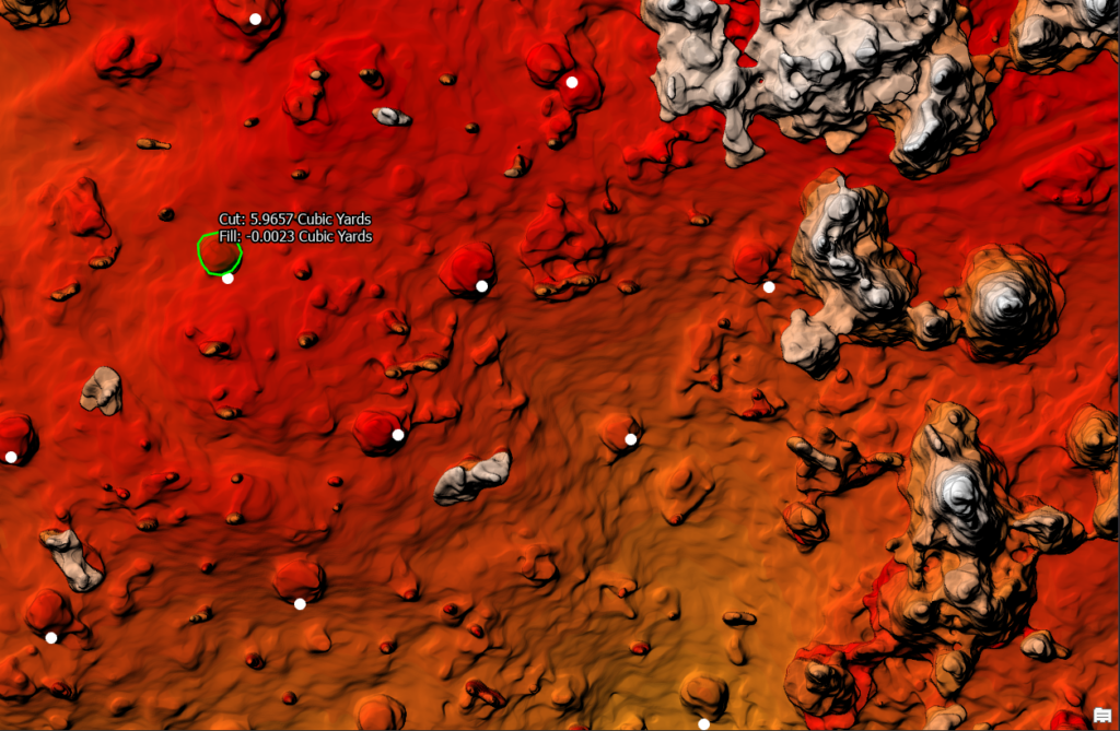
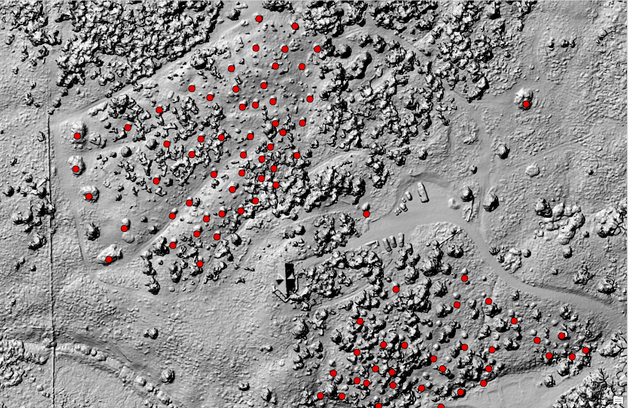
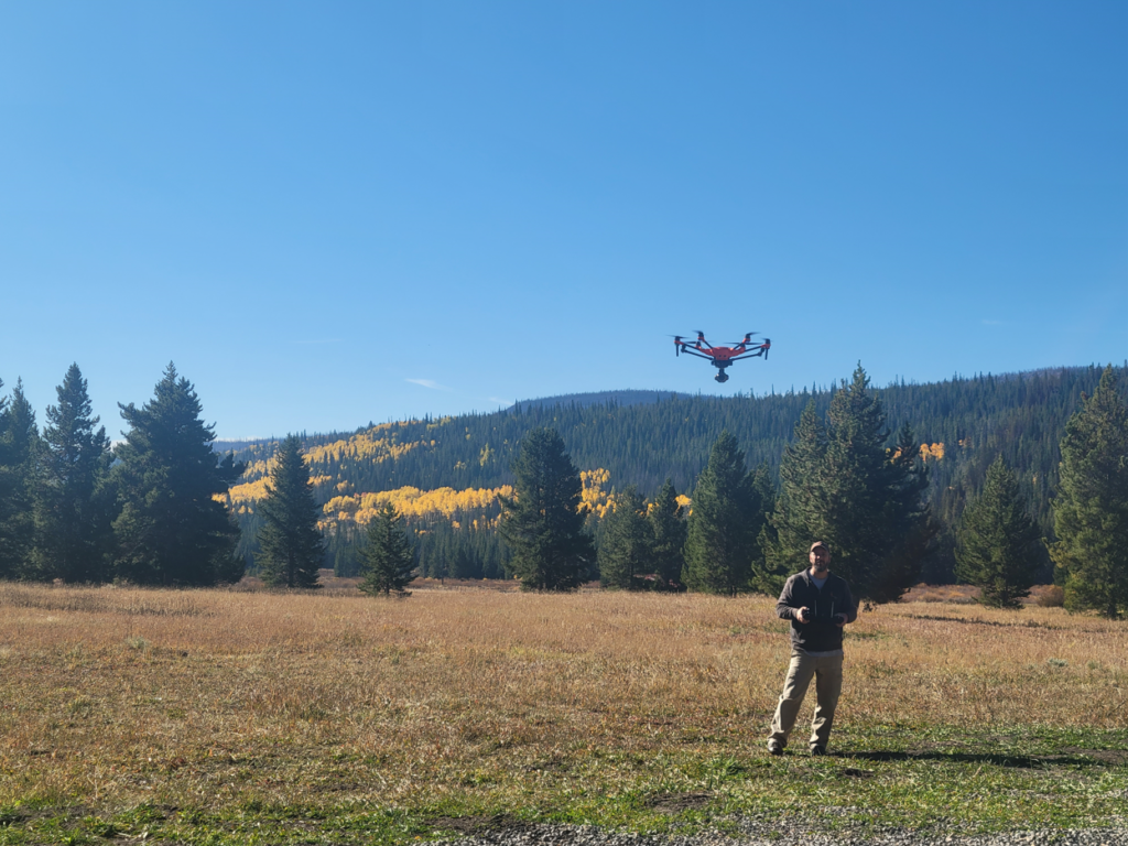
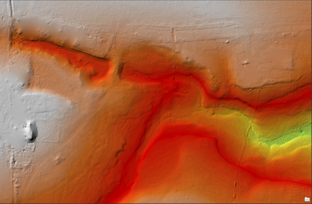
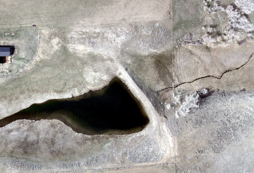
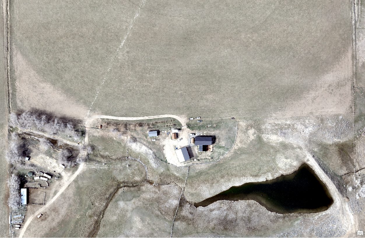
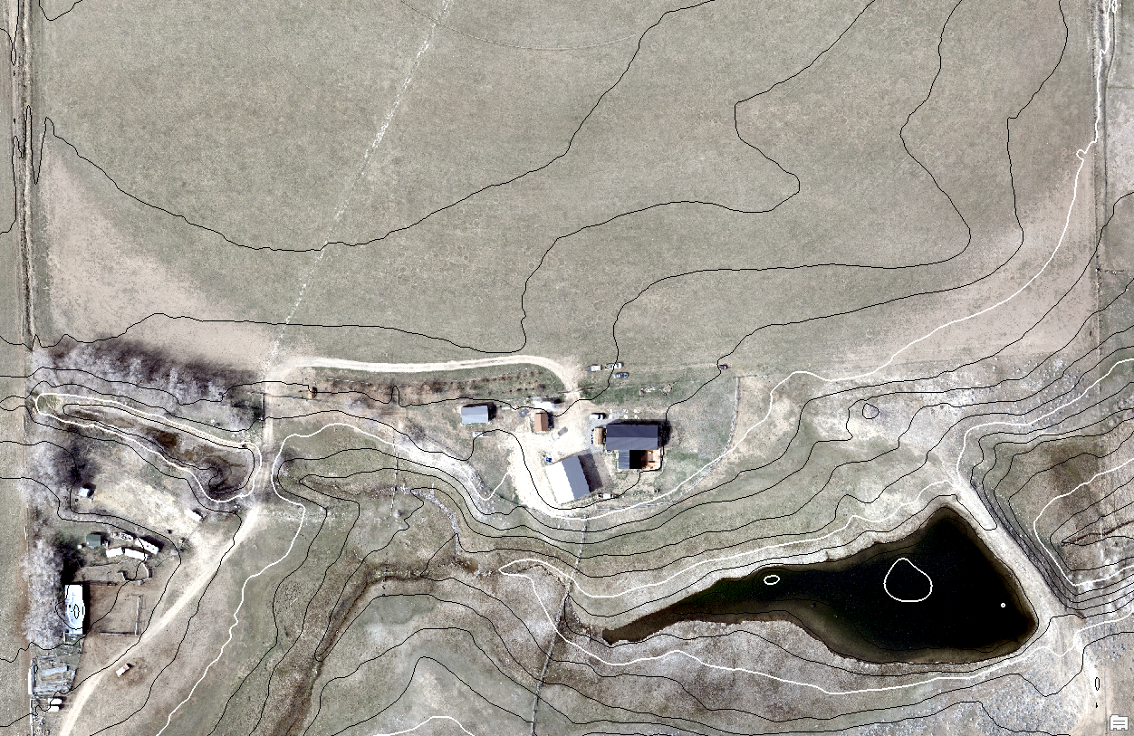
To further expand on this example, here is a small pond, its dam, and the surrounding area. We are showing the new orthomosaic made by flying our drone over the area. We can process a DEM Hillshade that resembles LIDAR. This would be used to identify the landscape under the vegetation and without buildings. From that, we can then process a topographical line map made with the Hillshade data set. Finally, check out the slider that shows the ortho with the finished topo lines.

This is just a few examples of what we can do for you with Digital Elevation Modelling. What do you need analyzed? Contact us to discuss your situation and how we can best meet your mapping needs.