Every Solution
Begins With A
Spark
FlamingTree Solutions provides decades of experience in forestry, wildfire management, and cutting-edge drone & LiDAR technology
FlamingTree Solutions provided us with a wealth of data after conducting a traditional tree inventory, capturing aerial imagery and producing a multispectral analysis. The data allows us to direct our limited resources toward the most at-risk trees.
C Maggi, City of Clinton


Years of Combined Forestry Experience
Acres
Mapped
Wildfire Mitigation Consultations
Your Challenges,
Our Solutions
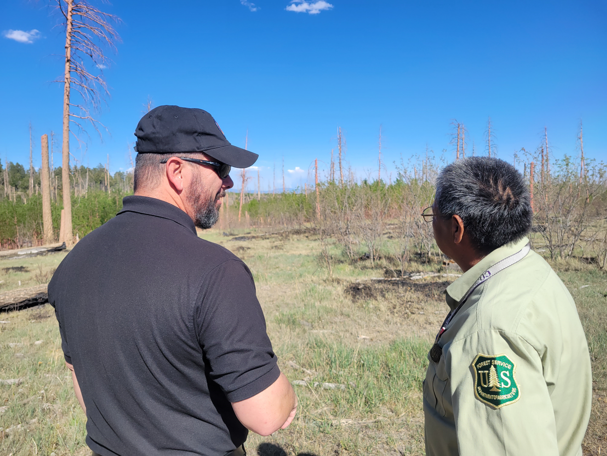
Facing wildfire risk, forest health concerns, or the need for accurate land mapping can be overwhelming. FlamingTree Solutions understands the challenges landowners face. With deep-rooted experience working alongside ranchers during wildfires and a reputation for speaking their language, our team provides trusted guidance every step of the way. We combine expert knowledge with cutting-edge technology, delivering precise, customized plans to protect and optimize your property.
What We Do
Expert Services to Protect and
Manage Your Land
Safeguarding your property from wildfire, improving forest health, or obtaining precise land mapping requires expertise and the right tools. Our team of professionals is equipped to tackle these land management challenges with accuracy and care.
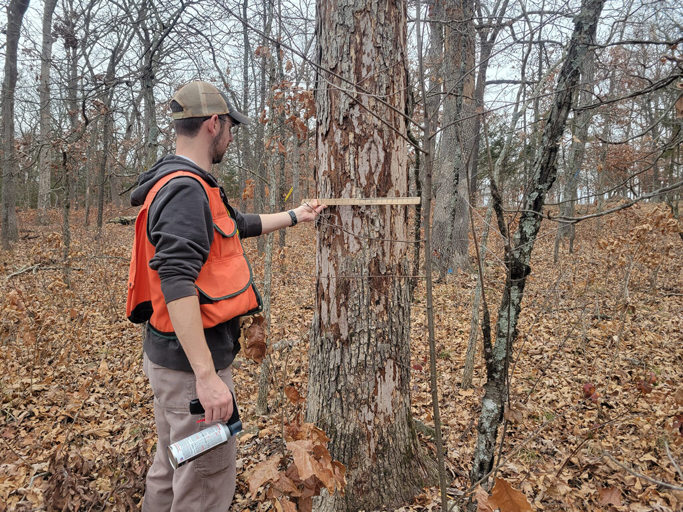
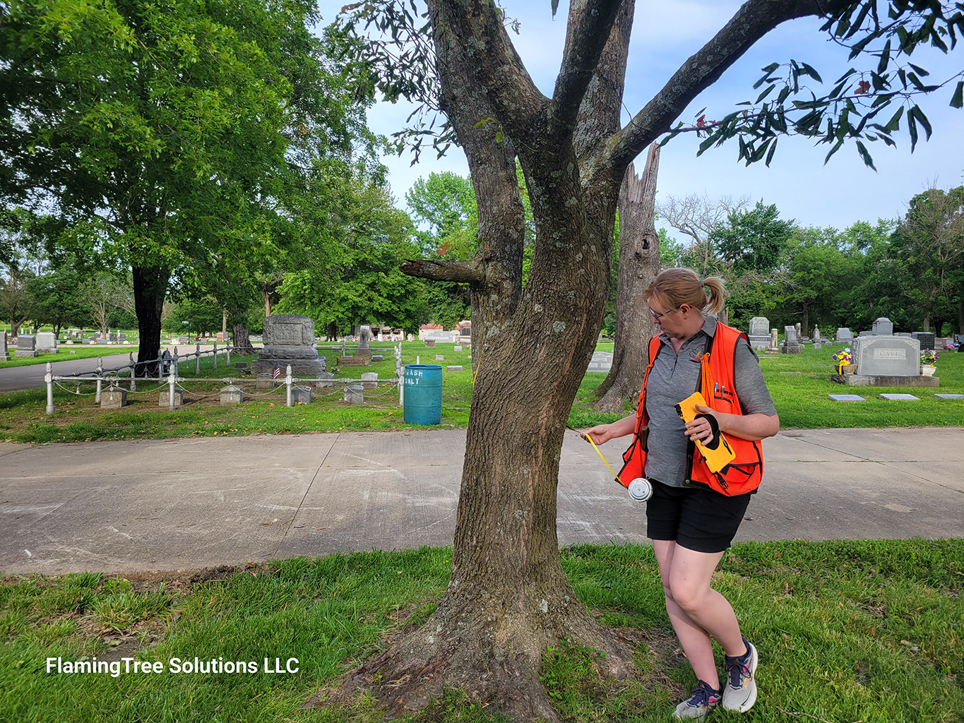
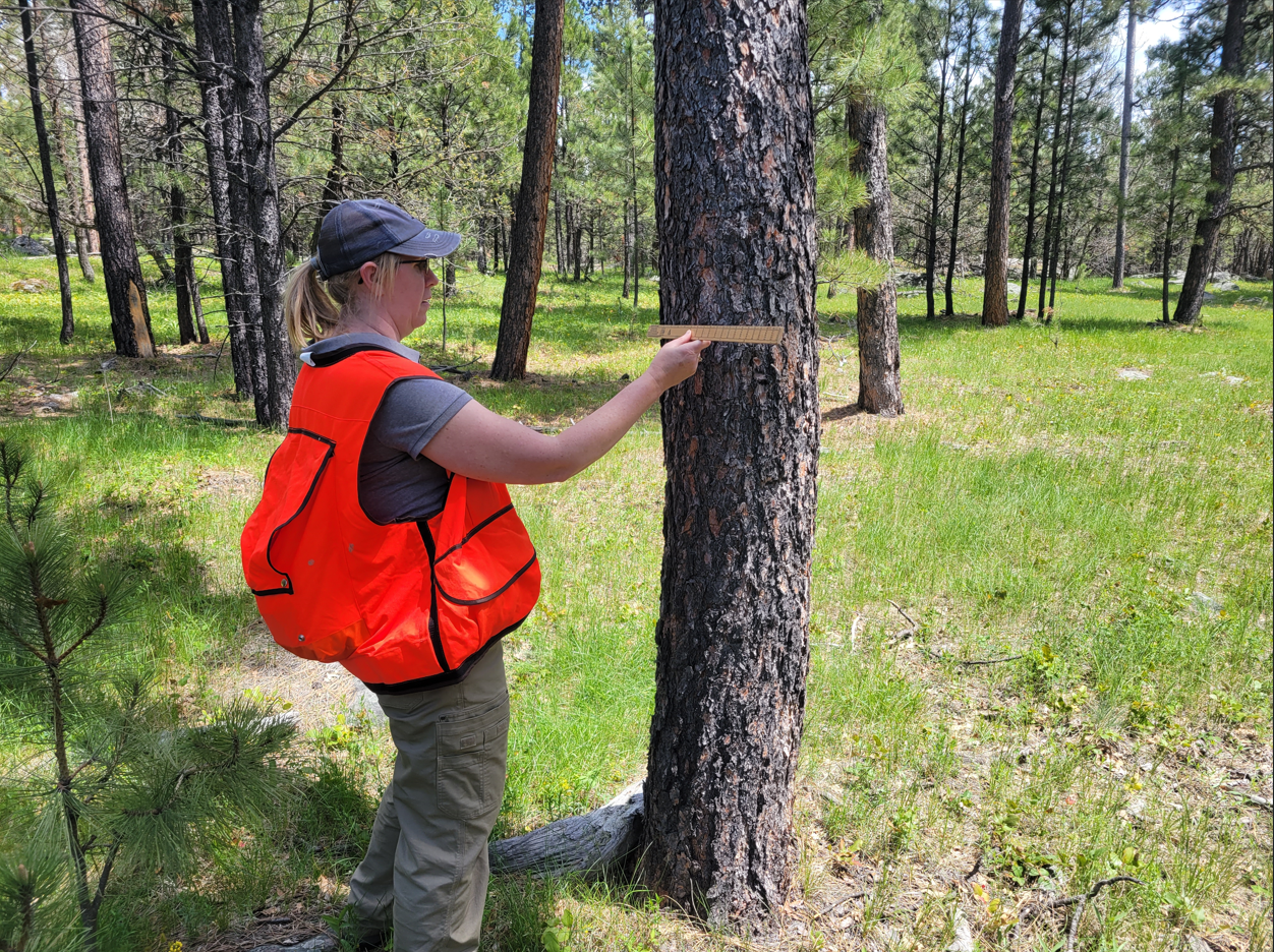
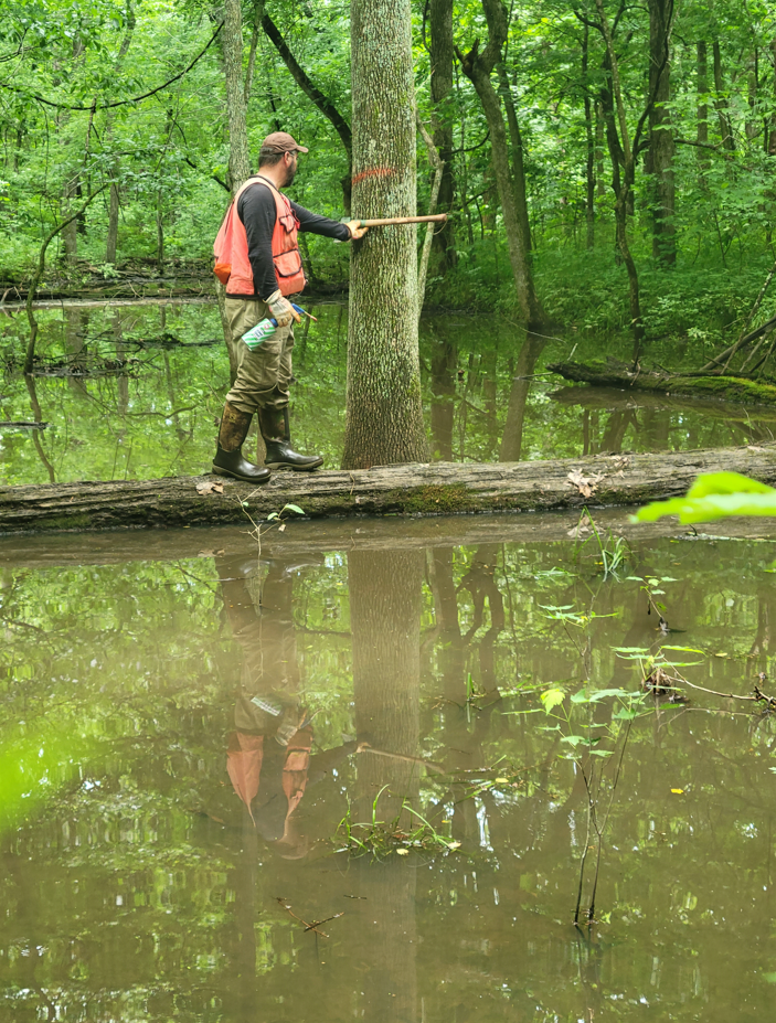
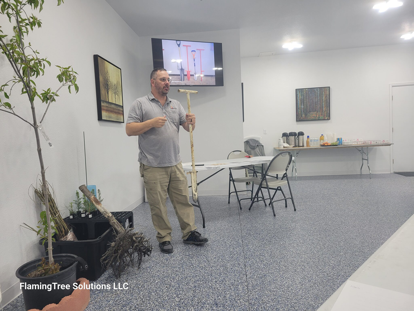
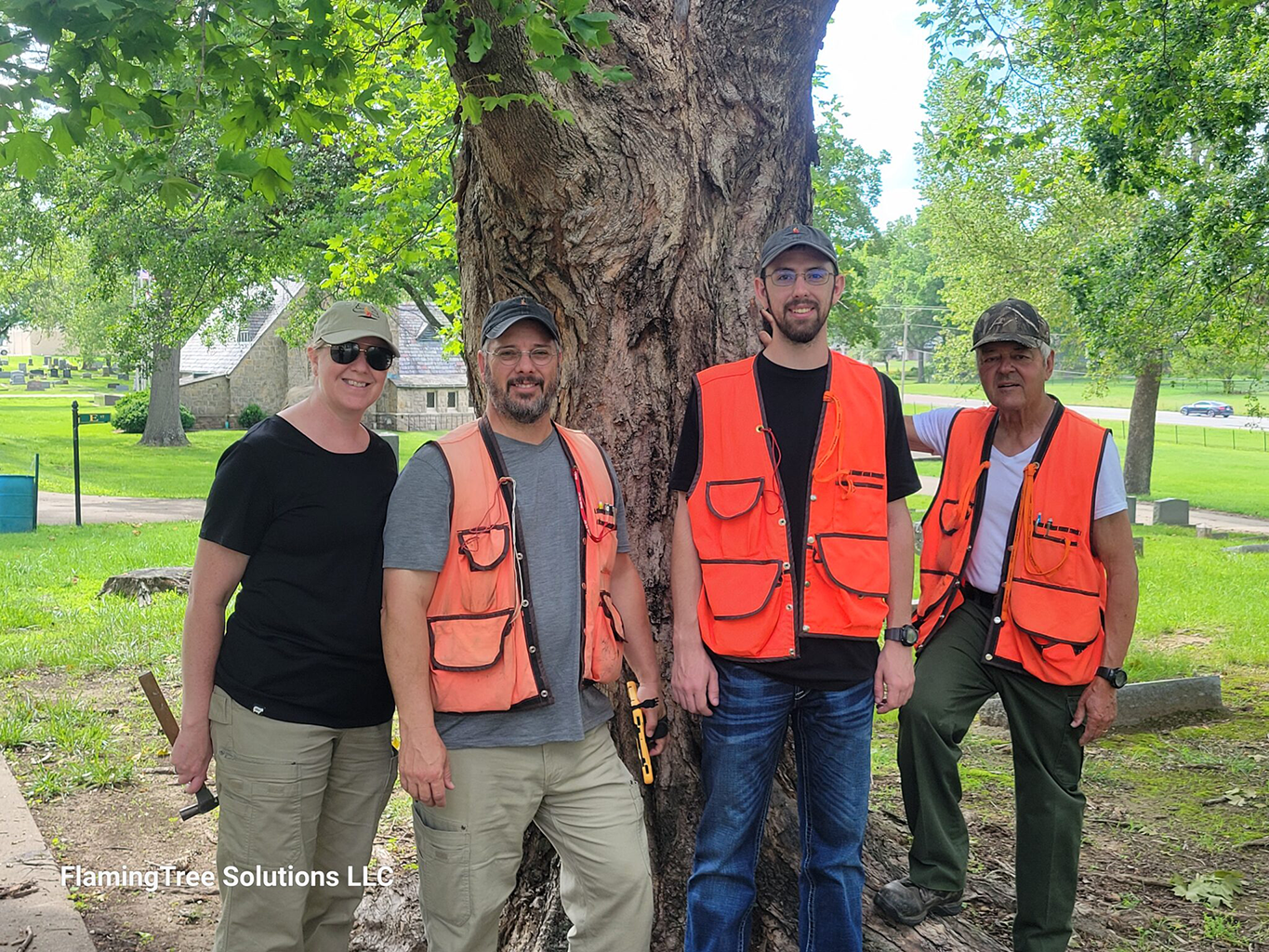
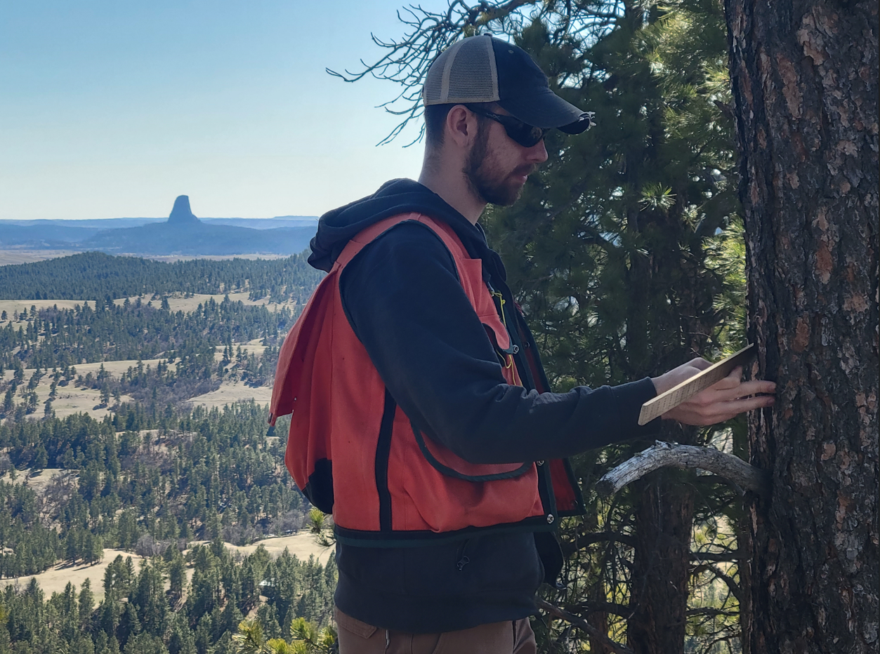
Forestry Management
Hands-On Forestry Guidance
Whether you’re planting trees, assessing risk, or planning a timber sale, we work alongside you to create a plan that fits your land and your goals.
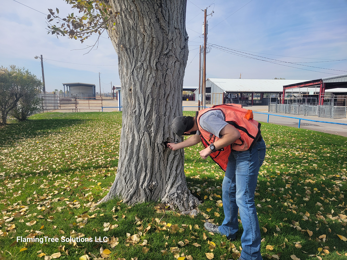
Urban Forestry Management
Caring for Your Community's Trees
From tree risk assessment and planting plans to community forestry programs, we provide expert guidance to keep your urban and community trees healthy and thriving.
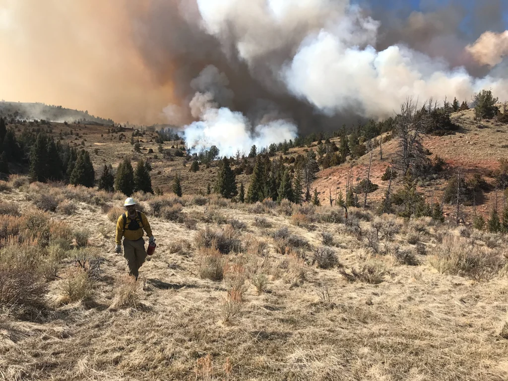
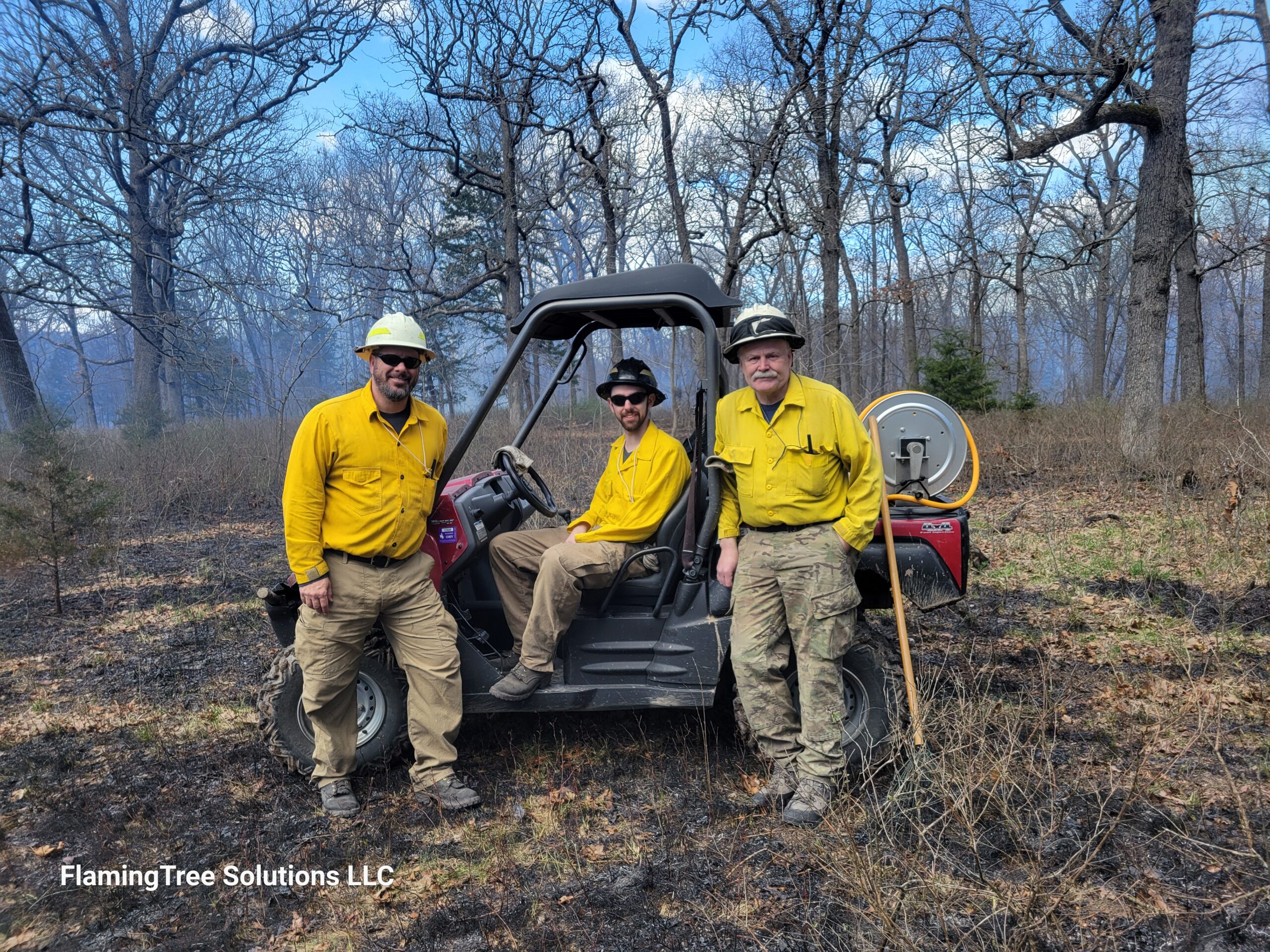
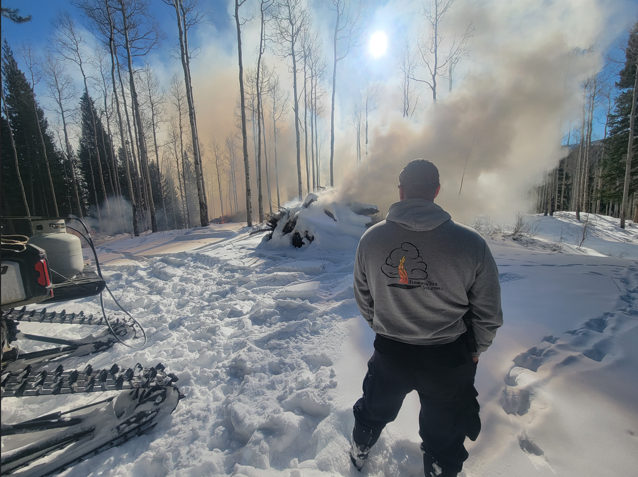
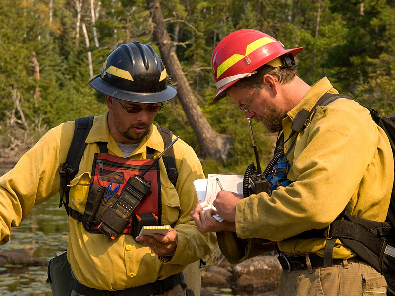
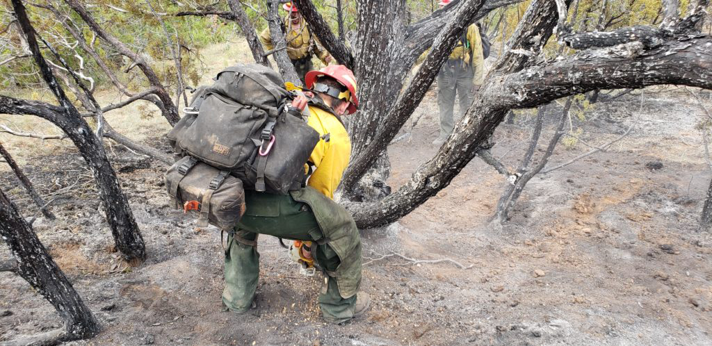
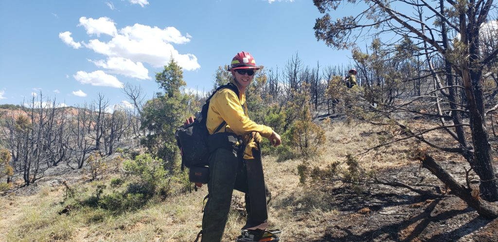
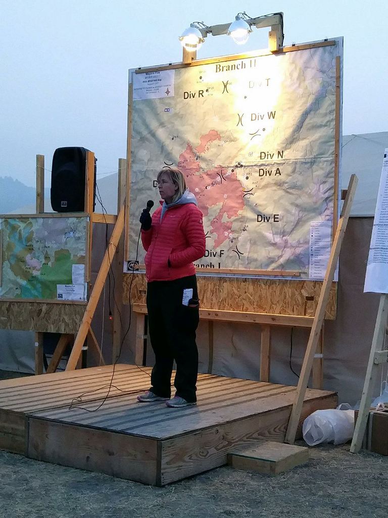
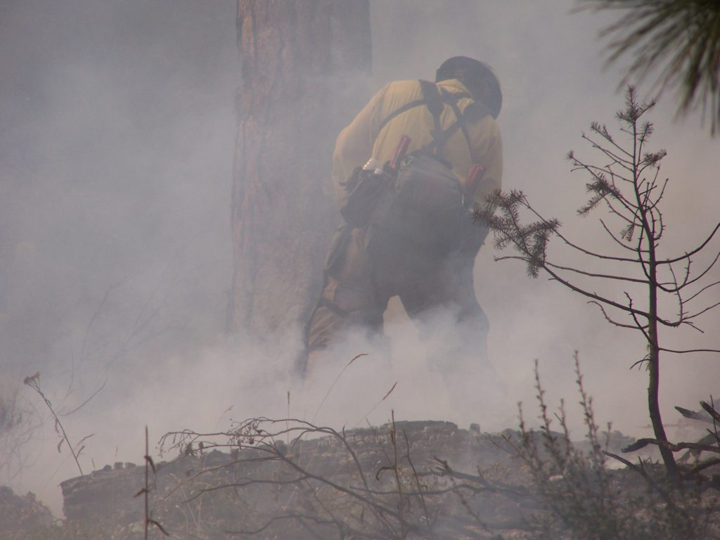
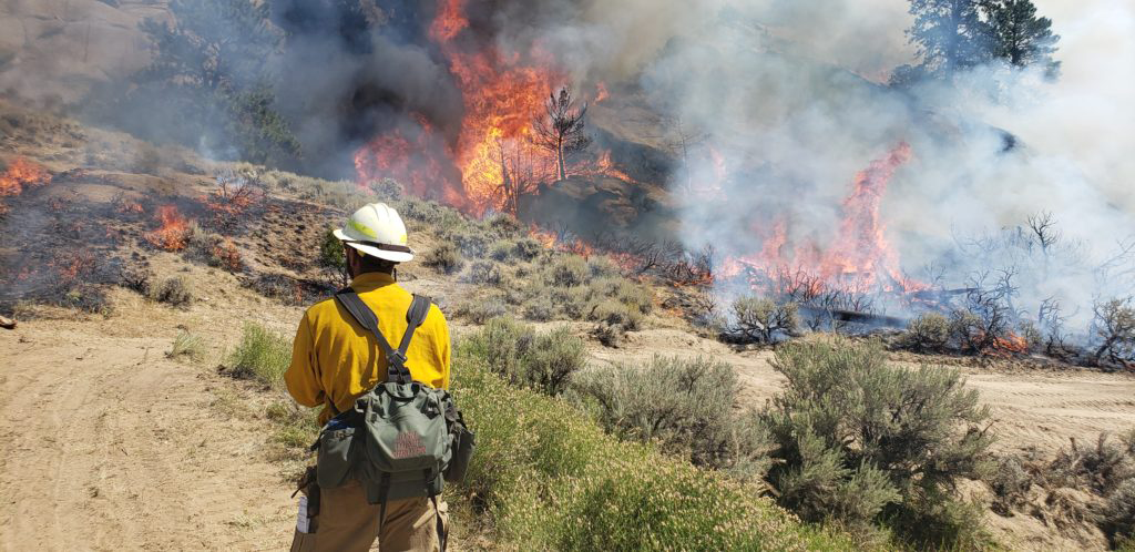
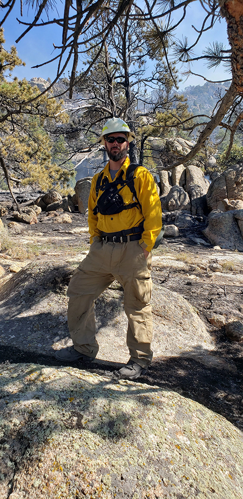
Wildfire Mitigation
Protecting What You’ve Built
Living in fire country comes with risks. We help you develop a plan to protect your home, ranch, or forest—backed by our experience on the fire line and working directly with landowners.
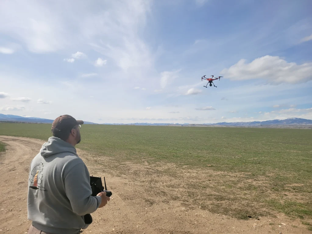
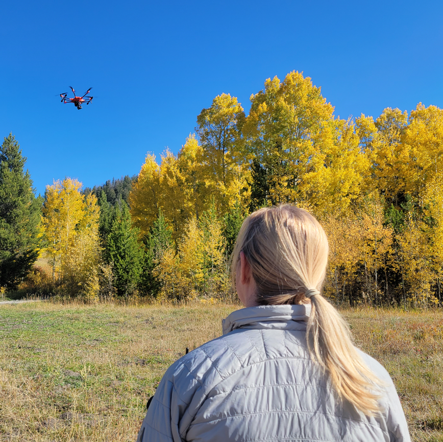
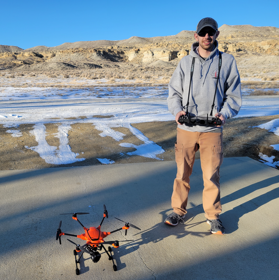
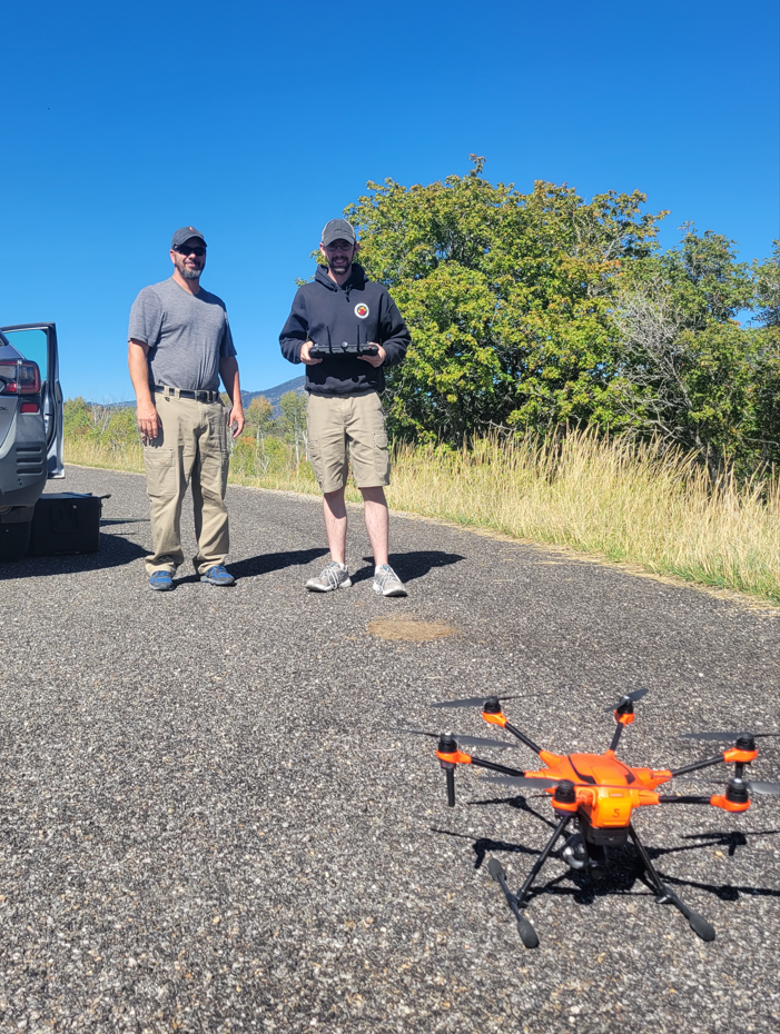
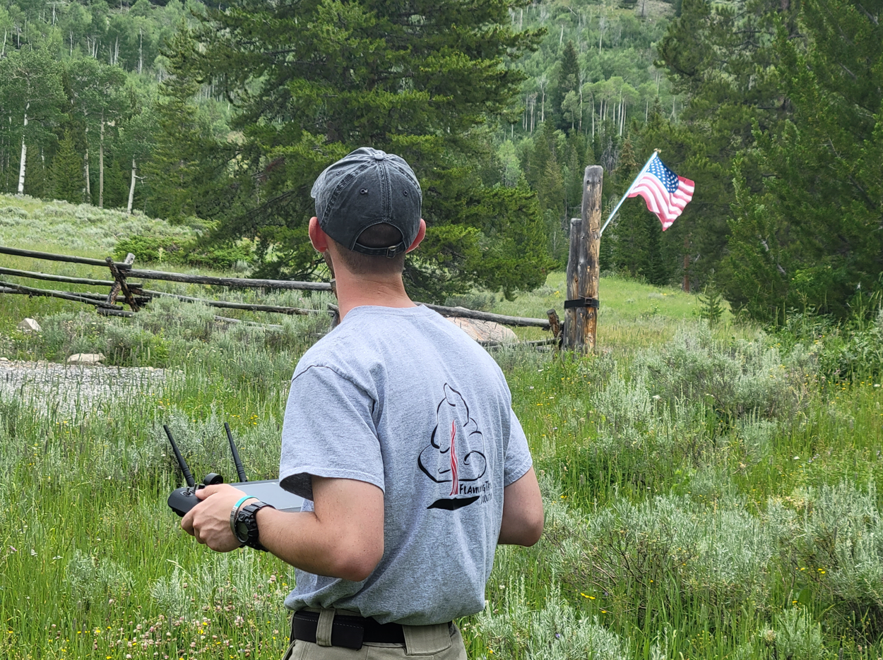
Drone & LiDAR Mapping
Better Data for Better Decisions
Our drone and LiDAR technology provide detailed maps and data to help you manage your land confidently. We explain the results in plain terms so you know exactly what they mean.
Why Choose Us
Experience You Can Trust – Technology That Delivers
Choosing the right team for land and forest management is critical. At FlamingTree Solutions, we combine decades of hands-on experience with cutting-edge LiDAR and drone technology to deliver accurate, efficient, and effective results. But what truly sets us apart is our connection to the land and the people who depend on it. Our founder, Josh Shroyer, grew up in a small, rural farming community and has earned the trust of ranchers by working alongside them during wildfires and speaking their language. Josh and Tammy are certified with the Society of American Foresters as Certified Urban & Community Foresters, making them the only two professionals in Wyoming with this certification. We take the time to understand each client’s unique situation, provide clear guidance every step of the way, and ensure the job is done right. Our commitment to expertise, relationships, and quality makes FlamingTree Solutions different.
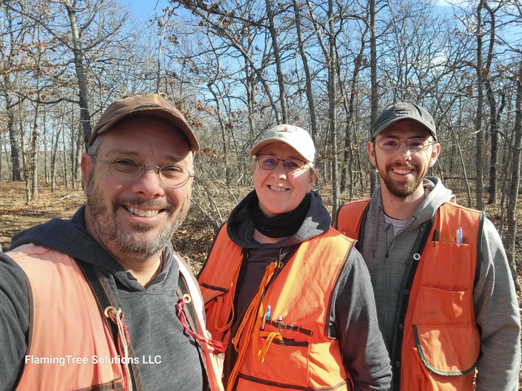
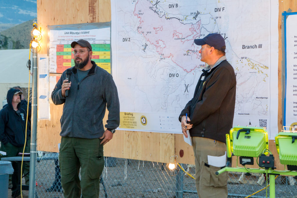
Decades of Field Experience
Our team, led by Josh Shroyer, brings decades of forestry, wildfire, and land management experience, with a deep understanding of rural landowners’ needs.
Exceptional Communication & Service
We prioritize clear, honest communication—whether working alongside ranchers during wildfires, presenting to large groups, or guiding individual landowners. We take the time to educate clients, ensuring confidence in every decision.
Cutting-Edge Technology
We combine our personal, boots-on-the-ground approach with state-of-the-art LiDAR mapping and drone surveys, providing accurate data and better outcomes for your land management goals.
Access to Resources & Funding
We often connect clients with cost-share programs like NRCS and state forestry funding programs to help fund forestry, wildfire mitigation, and land improvement projects—turning plans into action.
Trusted, Certified Professionals
As a team of industry-certified experts known nationwide for our personalized approach and local knowledge, we are committed to delivering high-quality work across the Intermountain West, Midwest, and Great Plains.
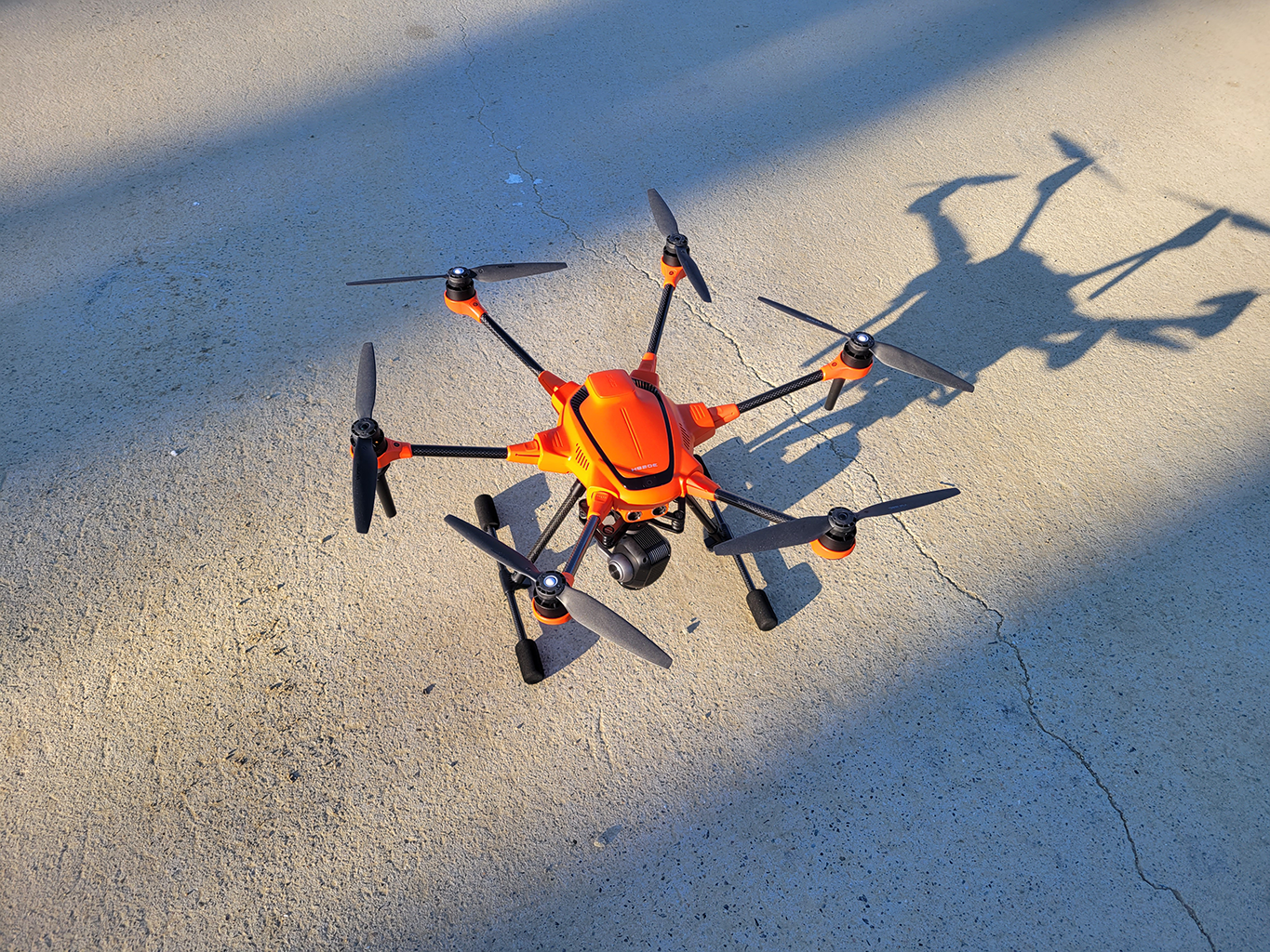
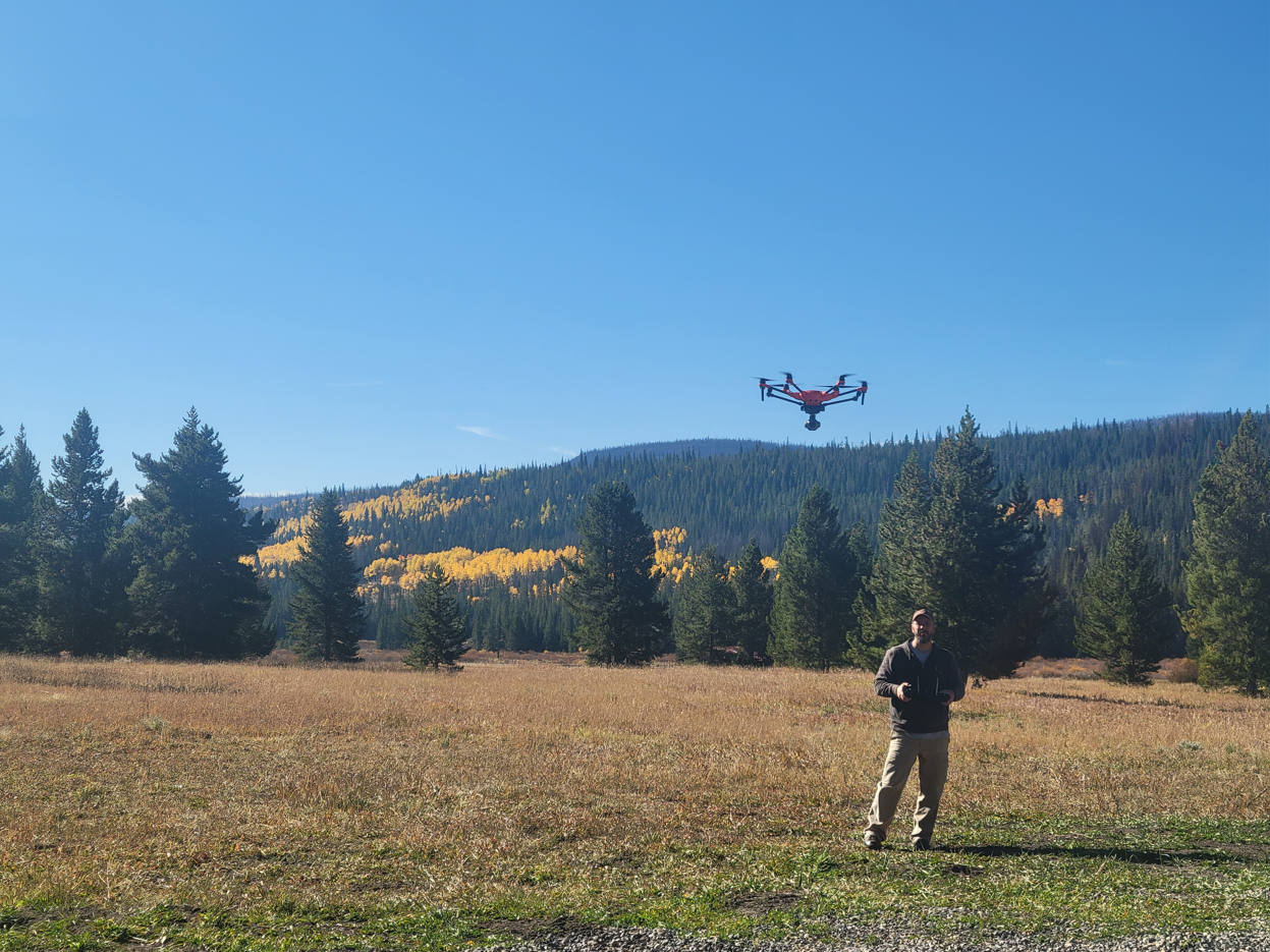
Drone Mapping
Harnessing the Power of LiDAR Technology
LiDAR technology transforms land management by providing precise, high-resolution data that reveals details invisible to the naked eye. FlamingTree Solutions uses LiDAR to map forests, assess wildfire risk, and monitor tree health with unparalleled accuracy. Our aerial LiDAR systems allow us to scan large and hard-to-reach areas, helping you make smarter decisions and confidently manage your land.
What is LiDAR?
LiDAR (Light Detection and Ranging) is an advanced remote sensing technology that uses laser pulses to measure distances and create detailed, three-dimensional landscape maps. It can penetrate vegetation, providing accurate elevation data and revealing features hidden beneath forest canopies.
What Are The Benefits of LiDAR?
High Precision Mapping
Generates highly accurate elevation models, topographic data, and forest structure analysis.
Vegetation Penetration
Captures ground-level details even in densely forested areas.
Efficiency & Coverage
Quickly surveys large or hard-to-reach areas, reducing time and labor costs.
Risk Assessment
Enhances wildfire risk analysis and forest health monitoring.
Informed Decision-Making
Provides actionable data to improve forest management, wildfire mitigation, and land planning.